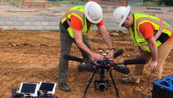
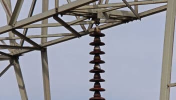
At Argos, we specialize in collecting unmanned aerial data for you, our client. Whether it be a Professional Land Surveyor looking to harness the power of LiDAR or a Utility company seeking High-resolution imagery to keep the grid up and running, having accurate data is the key to making good decisions. Equipped with the latest in GPS-enabled remote sensing technology, our expert teams of highly-trained pilots have the unique ability to gather precision data from hard-to-reach places. As such, Argos is the premier Drone Service Provider in the North-East.








 United States

