Service Detail

  1. Home
  2. Service detail
  3. Mapping & GIS
249 Mi
Distance in ( Miles ) 249
Pilots

Mapping – Orthomosaic in Florida by LoQdis

Description

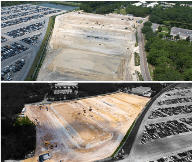
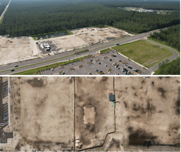
Capture vast properties with unmatched precision and detail using LoQdis’ orthomosaic mapping services. Our advanced software stitches together thousands of drone photos to create high-quality orthomosaic maps with up to 0.7 in/px resolution, providing an incredibly detailed view of your property.

Whether for land development, surveying, or planning, our orthomosaic maps ensure you get accurate, actionable insights.

Contact us today to discuss your mapping needs, confirm pricing, and secure your booking. Let us help you present your needs in the best possible way.

 Jacksonville, FL, USA
 Get Directions
floating button

Block user “undefined”

Are you sure you want to block this user?

Yes! block right now Not right now

Clear chat

Are you sure you want to clear your chat history?

Yes! clear all Not right now

Report “undefined”

Please fill the report form below so we can review.

Create Group

Profile_photo3869.jpg
No results to show

Delete “undefined”

Are you sure you want to delete this group?

Yes! remove right now Not right now

Delete “”

Are you sure you want to delete this member?

Yes! detele right nowNot right now

Leaving group?

Are you sure you want to leave “undefined”?

Yes! leave nowNot right now

Before you leave

    Hey there! It looks like this contact is not in your friend list. Would you like to chat with this user?

    Block user
    BESbswy
    BESbswy